
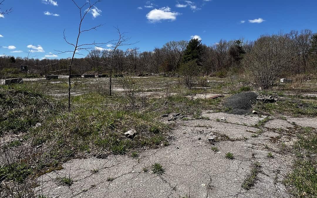
I took a walk the other day in one of the more remote parts of the Blue Hills Reservation: the southeastern side between Route 24 and High Street in Randolph.
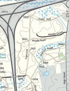
What I discovered was a bit unexpected, considering I was within 7,000 acres of conservation land: a Cold War relic known locally as the Nike missile site, or Nike site B-55.
In the case of these missile sites, “Nike” has nothing to do with shoes. It is the name of the Greek goddess of victory. It’s actually one of two primary military sites located inside the Blue Hills Reservation that constituted one of 12 defense facilities ringing Boston at the height of the Cold War between 1955 and 1963. Their purpose was to protect the city from possible strikes by Soviet nuclear bombers, before ICBMs (intercontinental ballistic missiles) made these facilities obsolete.
Nike missile sites weren’t just protecting Boston with locations in Framingham, Burlington, Hull, and Weymouth. New York City had 20 of them!
The site near High Street was the launch site for the missiles. The other site on Chickatawbut Hill was for command and control (and the radar center), now the Norman Smith Environmental Education Center.
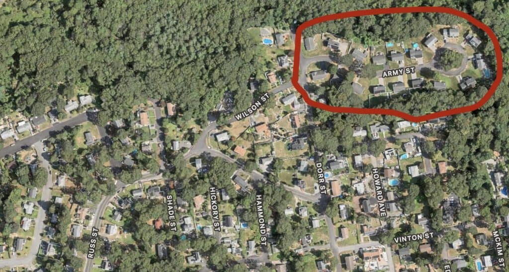
Military officers for the site lived with their families at a third location of low-profile houses just outside the park on the aptly named Army Street.
Seeing this unique feature of a park I know and love made me want to dive a little deeper into its history as an outpost of the U.S. Army and share some insights in case you’re curious about the site, too.
More on the Missile Launch Site
Heading south across Route 128, down Route 28, and on to High Street in Randolph is the way to the actual missile launch site. There is no DCR parking, but I parked at Central Rock Gym, which is literally across from the paved roadway to the missile launch site. It’s called Middle Street, but it’s not in the middle of anything — there are absolutely no residential or commercial buildings on that road.
There is a trailhead for Middle Road that connects to the Pipe Line.
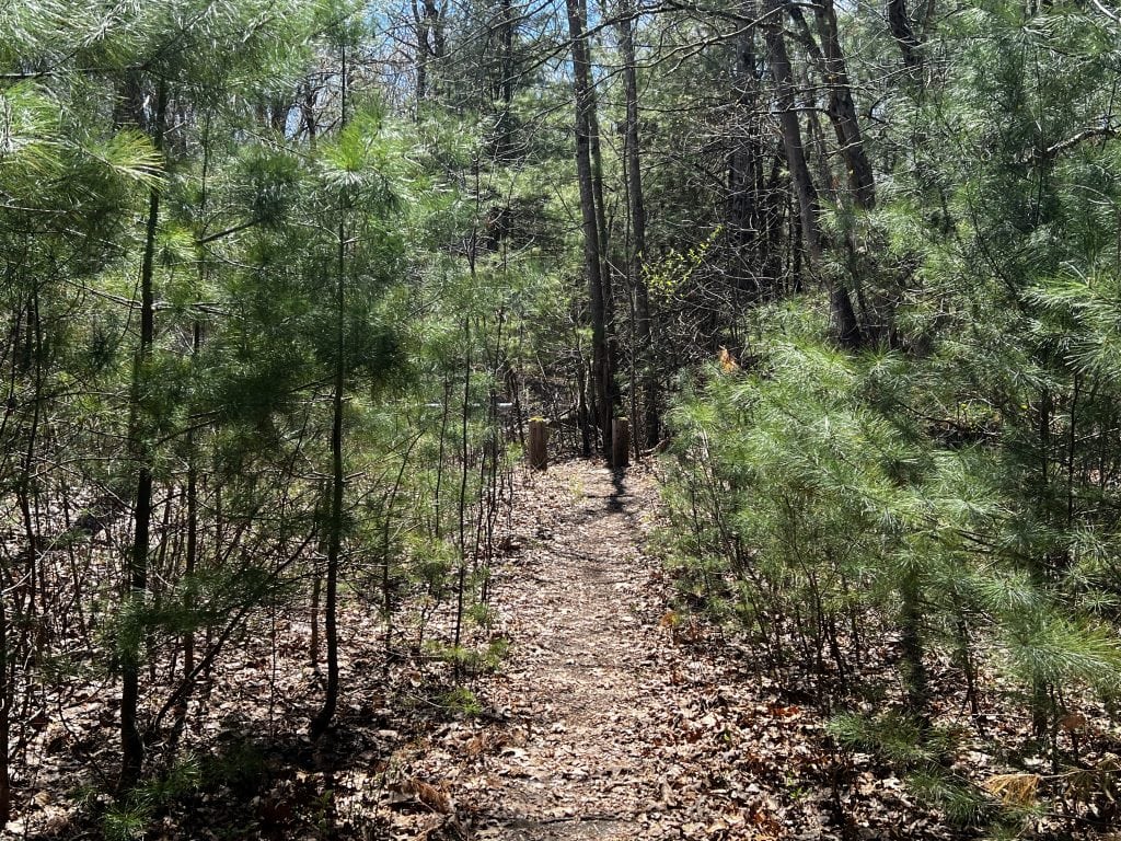
It is a bit of a lonely walk on this all but abandoned street; however, there is the sense that it once was full of activity. In fact, as you pass through what would have been the long-disappeared guard post, you can start to imagine what this place may have looked like back in the day.
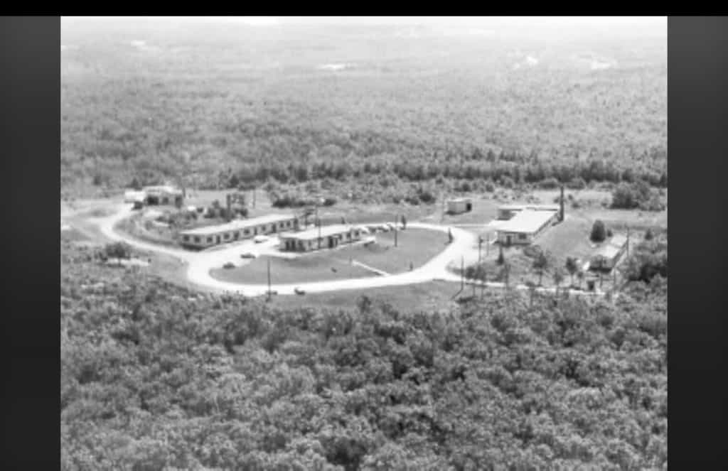
I noticed on my right two overgrown yellow-painted stairs to nowhere and later learned that these stairs once led to a hundred-foot-long onsite barracks for the crews who manned the missile site.
All that remains now is the broken-up concrete floor and random pipes sticking out of the ground.
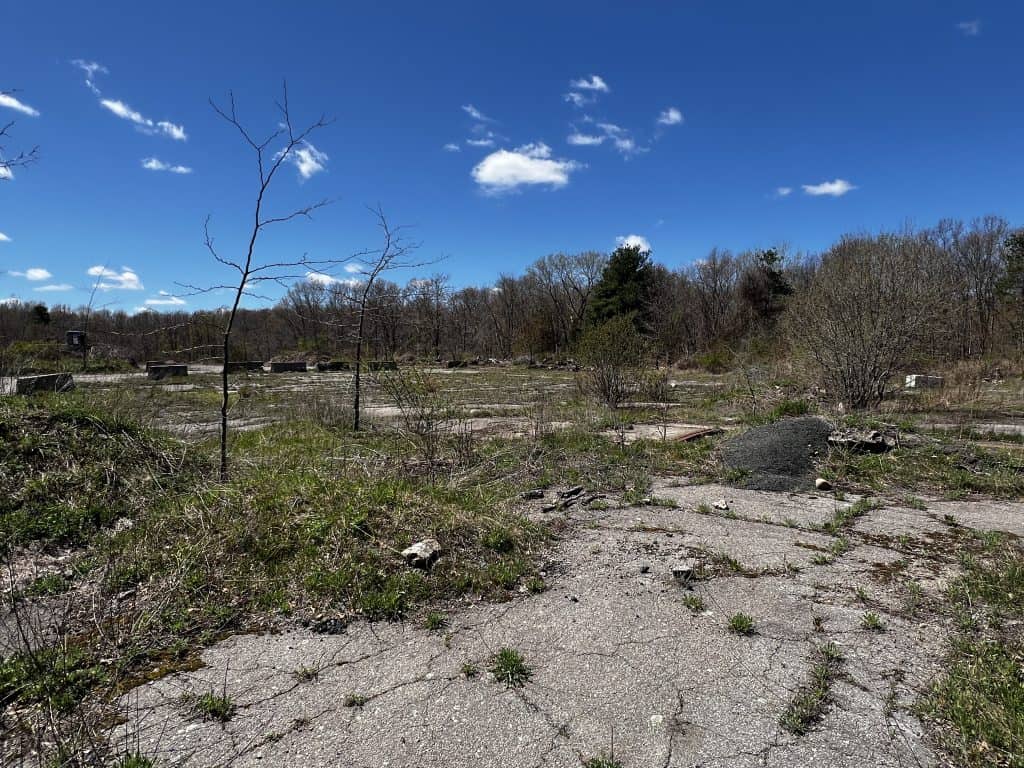
Walking further along the road I came across remnants of the missile assembly and generator buildings, also long gone. However, I noticed a curving concrete path leading around these broken-down buildings out to the actual launch site. At first I thought this was some kind of strange sidewalk, but it turned out to be a trackway where the missiles were rolled to be fueled and then stored or mounted to their launchers.
Finally, I made it to the actual launch area, which is essentially one continuous slab of concrete with rusted steel artifacts embedded in the ground. The 48 Atlas or Hercules missiles had been housed beneath, ready to be raised and launched within minutes of an incoming attack. The Hercules missiles could also be nuclear-armed, designed to take out a whole fleet of Soviet aircraft if need be.
Chickatawbut Command and Control
Since that first stroll near the missile site off High Street, I’ve learned that the command and control facility on Chickatawbut Hill not only managed the missiles but also housed the soldiers who monitored the radar station. At its peak, about 109 soldiers were stationed here.
Eventually, after the facility was decommissioned in the early 1970s, the Chickatawbut Hill location was turned over to the Massachusetts Department of Conservation and Recreation (DCR). Today it is the Norman Smith Environmental Education Center, named after its director who served there for nearly two decades. The center is not generally open to the public but hosts a youth summer camp from mid-July through early September for kids ages 4 –14. There’s even a dormitory for overnight camp events and a dining hall.
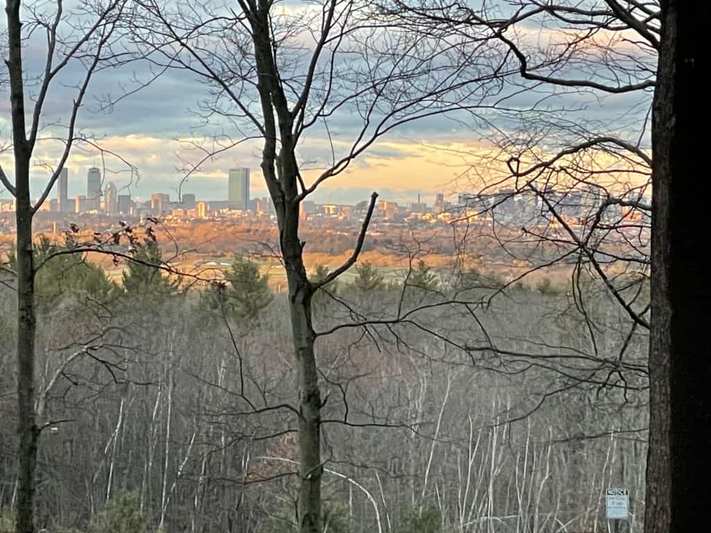
The site of today’s Chickatawbut Tower, where a massive radar antenna once stood, is a great place to see Boston’s skyline from the park.
What’s Up with the Site Now?
The command and control portion of the Blue HIlls’ Nike missile site found a new purpose as a nature-focused educational center and summer camp for children. However, the launch site has faded into concrete ruins and ghosts of a time when the world seemed on the brink of an unimaginable war that never came, thankfully. Sadly, today the missile launch site is more like a dumping ground than a piece of history. Trash, discarded equipment (including an excavator), mountains of dirt, an out-of-place concrete retaining wall, and other detritus dampen the storytelling of this historical site.
In the recent past, commercial entities have wanted to use the launch site as an actual dumping ground, particularly for mixing specialty soils, composting, and snow dumping. This not only would have led to 50 trucks or so a day traveling along High Street, but also could have negatively impacted the priority habitats in the park through increased runoff or tainted water and masked cultural artifacts associated with the Nike site. FBH advocated against this kind of usage, and, fortunately, the Randolph Town Council struck down the motion in Spring 2026. So, at least for now, this part of the Blue Hills Reservation, and this part of history, is saved for future generations.
For More on the Missile Site
The 2013 video “Beneath the Elms,” produced by Randolph Community Television, covers this historic place and includes some interesting surprises!
To learn more about how Friends of the Blue Hills is working to protect the park and the living flora and fauna that thrive there, visit https://archive.friendsofthebluehills.org.
Sources include the video mentioned above and the Southeastern Massachusetts Chapter Appalachian Mountain Club.