
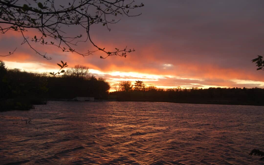
The name of each trail in the Blue Hills Reservation has its own story — sometimes a reflection of its indigenous or settler-colonial past; sometimes a marker of its physical characteristics. In this occasional blog series, we will explore how some of our favorite trails got their names as we think about the history of the land that makes up the Blue Hills Reservation today.
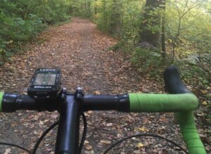
Photo: “Misty Ride Around Ponkapoag Pond,” by Mike Blackwell of Milton
On a muggy day this summer, Ponkapoag Trail is filled with birdsong, occasional bullfrog croaks, and a few fellow hikers (plus some insects to swat at, too). The trail is a four-mile loop around Ponkapoag Pond, the larger of the two ponds in the Blue Hills Reservation (the other is Houghton’s Pond). The path is relatively flat and ideal for a peaceful walk through a wetland ecosystem.
Ponkapoag is a Massachusett word that, per Daniel Gookin, an early chronicler of native history, means “spring that ariseth out of red earth.” The Ponkapoag are a band of the Massachusett Tribe with ancestral lands that include what is now the Blue Hills Reservation. As the tribal website explains, bands of the Massachusett (of which there were more than 30 when the Puritans arrived on Cape Cod in 1620) take their name from the landscape on which they live.
The story of the Ponkapoag band in their current location began in 1655, when John Eliot, an English preacher interested in converting native peoples to Christianity, founded a second “praying town” for converted Indians. (The first was Natick, MA.) The provincial government set aside 6,000 acres for this purpose; however, over the course of the 17th and 18th centuries, most of this land was leased or given away to English settlers. The indigenous claim to the land has persisted, and the Ponkapoag band is a vital and thriving part of the larger Massachusett nation.
The Ponkapoag name also has remained an important part of the local landscape. In 1921, the Appalachian Mountain Club received permission to site a new weekend camp on Ponkapoag Pond. The AMC reported, “This is a wild spot, little visited, with good tramping country all about.” The camp began as a collection of tents, but by the 1930s, most of the buildings were cabins. The camp quickly became popular; in the first season, there were 1,100 reservations for camp sites and by 1935, the camp served 4,500 visitors. Today, there are 20 cabins and a main lodge, all sited along the eastern edge of Ponkapoag Pond.
Ponkapoag Pond itself is the focus of the Ponkapoag Trail, which stays close to the bank of the pond for most of the loop.
What About the Boardwalk?
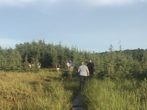
Ponkapoag Boardwalk back in 2017 when it was still passable and took hikers all the way across a bog and out to the pond’s edge.
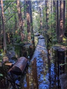
The historic 1.5 mile-long Ponkapoag Boardwalk — originally constructed in 1947 and rebuilt over the years by FBH volunteers — remains largely in a fragile state. While beloved, many planks are weathered and overgrown, broken, or missing. This has made the path out to the pond through the bog and cedar swamp narrow, slick, and sometimes submerged in wet areas.
Ponkapoag Boardwalk now as it weaves through the cedar forest (and often disappears under water) on its way to the pond.
The boardwalk currently is closed to visitors.
To restore both accessibility and ecological integrity, the Department of Conservation and Recreation (DCR) included a new “bog board walk” in its ongoing Ponkapoag Pond Master Plan. This project aims to replace or rehabilitate the existing structure with sustainable materials, improving visitor experience while protecting the sensitive wetlands. With more formal rebuild plans just starting to take shape — and many steps requiring major funding still being mapped out – it will be a while before the boardwalk can again be a destination in the Ponkapoag section of the park.
Stay tuned to learn more about how you can help make the new boardwalk a reality!
Love hearing the back story on trail and place names.